What started 15 years ago as one hunter's quest to quickly see public land boundaries while in the field has become the go-to series of apps for enhancing outdoor recreation.
Eric Siegfried founded what today is onX in 2009. An avid hunter, he envisioned a simple-to-use interface so that folks like him could easily access accurate location data in a form more mobile than a quickly outdated paper map. In short, providing hunters around the country with comprehensive digital maps at their fingertips.
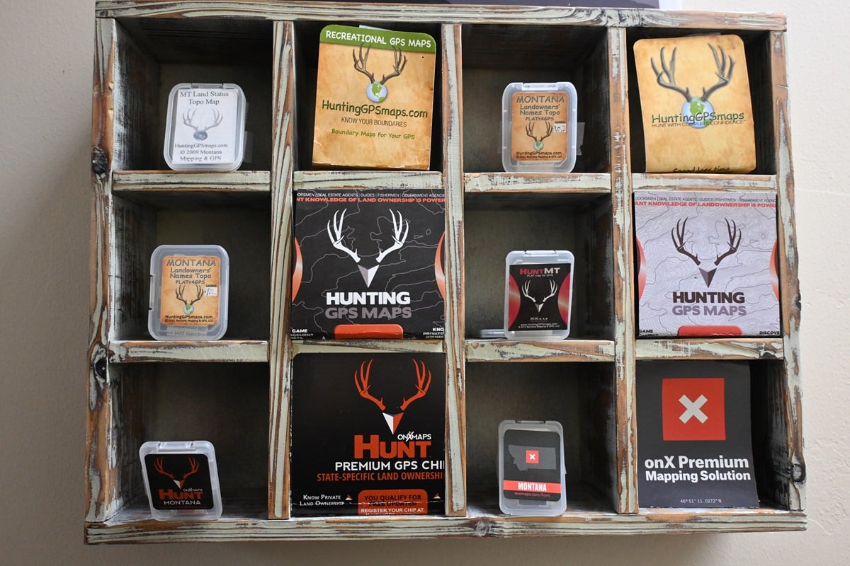
Siegfried's original onX Chip morphed across various apps such as the Hunt App in 2013 and today stands among a host of offerings such a onX Hunt, onX Offroad, and onX Backcountry, using the same sort of technology to deliver for not only those seeking to harvest wildlife but also hiking enthusiasts and explorers of all stripes.
And it long ago left chips behind and made the jump to mobile devices.
"With the increased technology and innovation of a smartphone, we started having customers ask how can I just get this on my phone – I'm always carrying it with me, it's a bigger screen, etc.," Zac Sandau, onX Hunt's marketing director told Guns.com. "Once we started addressing that, we kind of figured out that it gives us way more opportunity. We can add things like aerial imagery. A phone is a GPS so you could still mark waypoints, and see your location offline, but then we could add things like crop and tree layers and different types of content that we were not able to with a Garmin GPS.
"Now, it's fully functioning (with) pretty much anything you could think of. If you're hunting elk in the West to whitetails in the South, there's very curated data and maps."
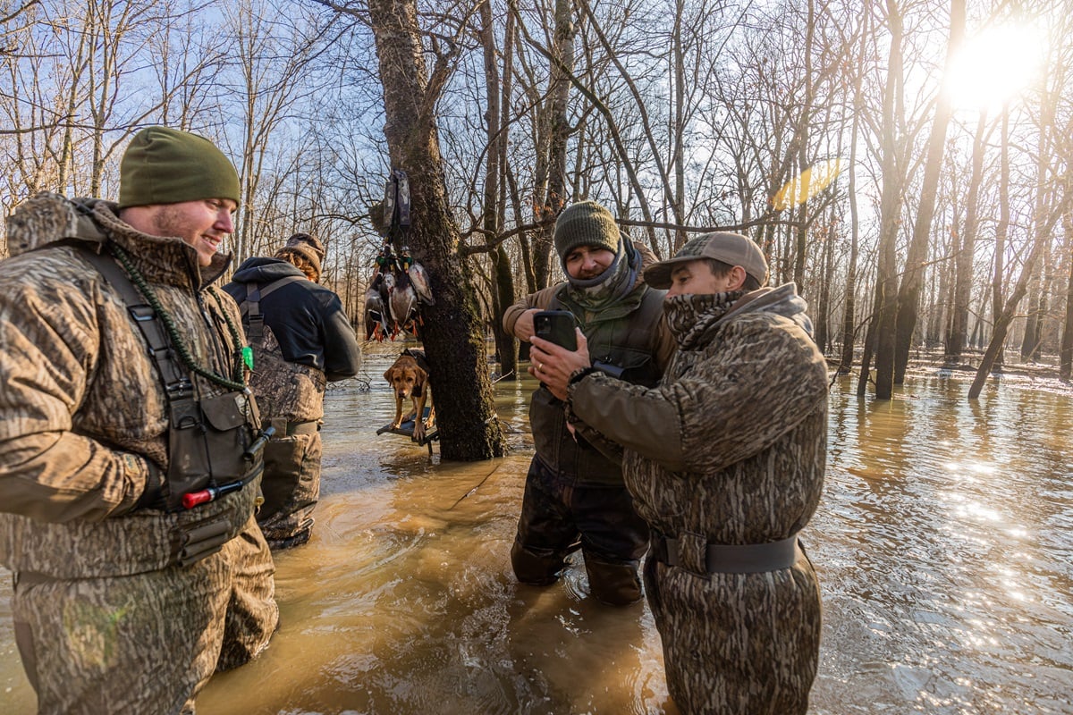
Today, onX provides integrated maps – available offline – that include a variety of overlay layers such as satellite and topographic, blended with land ownership data from hundreds of sources to provide a comprehensive view of the terrain in all aspects. On top of this, you get application tools and waypoints, options for leaf-on or off views, downslope views from elevation, route builders, and probably 20 other things we haven't even figured out yet.


These days, onX has more than 400 employees and, while still headquartered in Montana, covers all 50 states and Canada with more than 5 million customers using the onX Hunt app alone.